
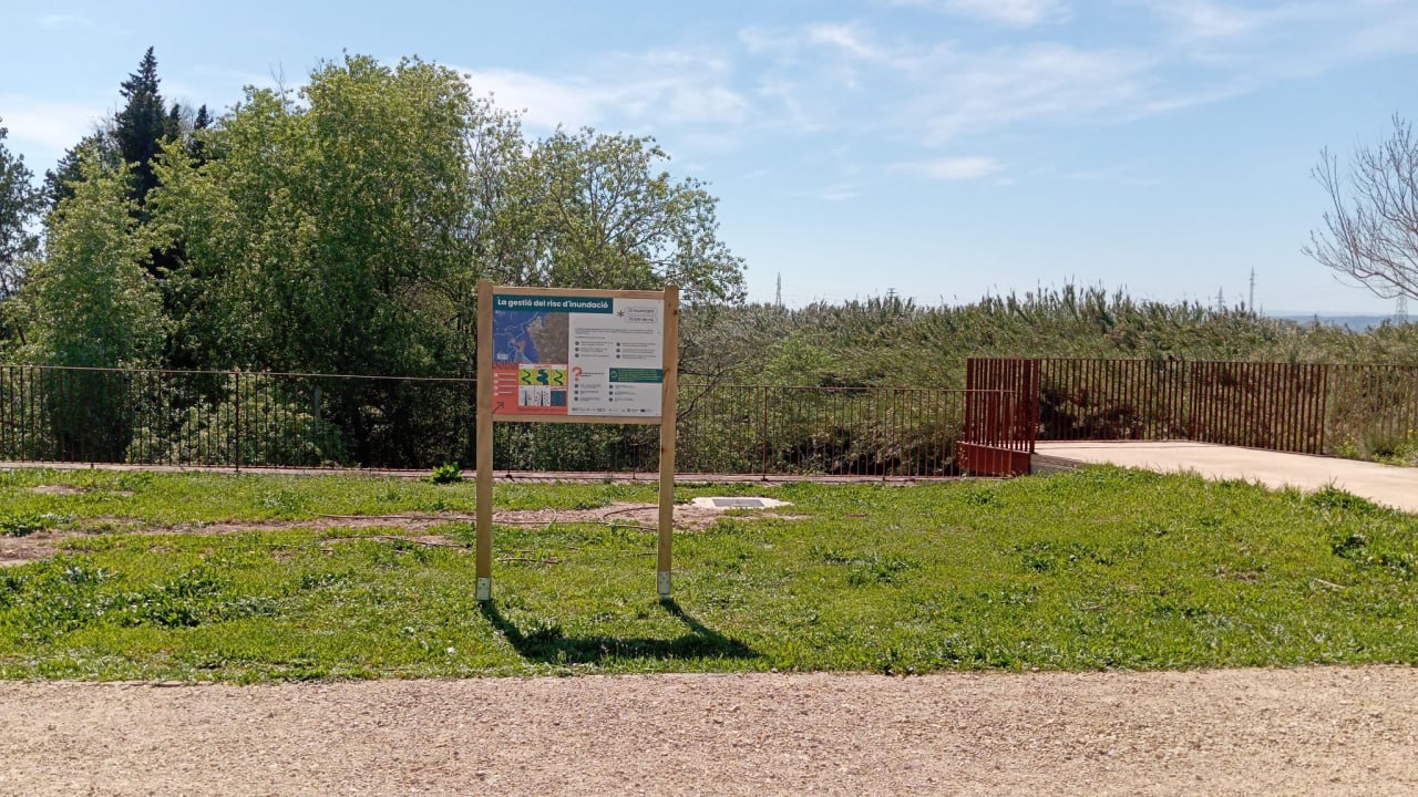
- The network of information boards, located at strategic points across the thirteen municipalities involved in the project, provides guidance on how to protect oneself during floods and details the environmental restoration work carried out.
- The initiative aims to change the public’s perception of the river, linking the recovery of the riparian forest with the region’s resilience to severe weather events.
- The project is supported by the Fundación Biodiversidad del Ministerio para la Transición Ecológica y el Reto Demográfico (MITECO) as part of the Recovery, Transformation and Resilience Plan (PRTR), funded by the European Union – NextGenerationEU.
30 March 2026.- The Consorci de la Ribera, comprising the Ribera Alta and Ribera Baixa associations of municipalities, and the Fundació Limne have completed the installation of a network of 15 environmental information panels in the municipalities participating in the “Canya a la Canya” project. These displays, situated in public areas close to the project sites but above flood levels, serve as an educational window into risk management and river biodiversity.
Risk culture and self-protection
The content of the panels gives a central role to “flood risk management”. Using maps specific to each locality, residents can visually identify flood-prone areas for return periods of 10, 100 and 500 years. This information is complemented by a practical guide to emergency response, which includes vital advice such as avoiding garages, abandoning your vehicle if the water rises above the axles, or securing toxic substances in high places.
The project’s organisers emphasise that the severity of phenomena such as DANAs, linked to rising sea temperatures, makes it necessary to “rethink the territory” and provide the public with early warning systems and accessible risk maps.
Summary of the ‘Canya a la Canya’ project
The information boards also serve as a public summary of the project’s achievements (2022–2025) along a 75-kilometre stretch of the river. Among the figures available for public consultation are: vegetation restoration through the planting of over 61,600 helophytes, 35,700 shrubs and 1,300 native trees; the removal of invasive species through the mechanical clearing of 172,210 m² of invasive reed (Arundo donax) and the management of 2,120 m² of reed beds; and bioengineering and floodplain management measures that have enabled the stabilisation of 4,830 m² of riverbanks and the conversion of former abandoned farmland into floodplains to reduce the force of floods, providing 27,771 m² of flood resistance capacity.
Furthermore, during the project, great emphasis was placed on public information, with over 400 environmental education activities carried out, involving more than 8,000 people.
A joint commitment to resilience
Both the Consorci de la Ribera and the Fundació Limne emphasise that these panels serve as a link between technical intervention and raising public awareness. The environmental information network has been installed in Sumacàrcer, Antella, Gavarda, Alberic, Benimuslem, Alzira, Algemesí, Albalat de la Ribera, Polinyà de Xúquer, Sueca, Riola, Fortaleny and Cullera.
This project is supported by the Biodiversity Foundation of the Ministry for Ecological Transition and the Demographic Challenge (MITECO) as part of the Recovery, Transformation and Resilience Plan, funded by the European Union – NextGenerationEU.